
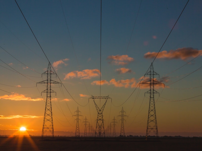
Deploying 308 kilometers of LT/HT transmission lines across North India presented one of the most complex logistical challenges in recent Indian power infrastructure. Navigating river crossings, dense agricultural zones, and restricted forest corridors required a level of precision planning that pushed conventional execution methods to their limits.
The project spanned four districts across Uttar Pradesh and Madhya Pradesh, requiring coordination with multiple state-level regulatory bodies. Terrain analysis using LIDAR surveys revealed over 40 critical chokepoints where conventional stringing methods would fail due to elevation changes exceeding 15 degrees within single span lengths.
Execution Metrics: 308 km LT/HT Line
| Parameter | Planned | Actual |
|---|---|---|
| Total Line Length | 308 km | 311.4 km |
| Tower Foundations | 1,240 | 1,267 |
| River Crossings | 6 | 6 |
| Average Span Length | 250m | 245m |
Phased Execution Strategy
ST Electricals adopted a phased corridor-clearing approach, dividing the 308 km stretch into 12 manageable sectors. Each sector was assigned a dedicated team with autonomous decision-making authority for real-time terrain adjustments. This decentralised model reduced average response time for field-level obstacles from 72 hours to under 8 hours.
Weather windows were a critical constraint. Monsoon conditions in central India limited active construction to roughly 7 months per year. The team developed a pre-fabrication pipeline that manufactured tower components during monsoon downtime, enabling rapid deployment once conditions cleared.
Logistics Map
12-sector division covering Uttar Pradesh and Madhya Pradesh with resource allocation per corridor segment.
“Engineering Reliability. Quality is our commitment.”